Uganda
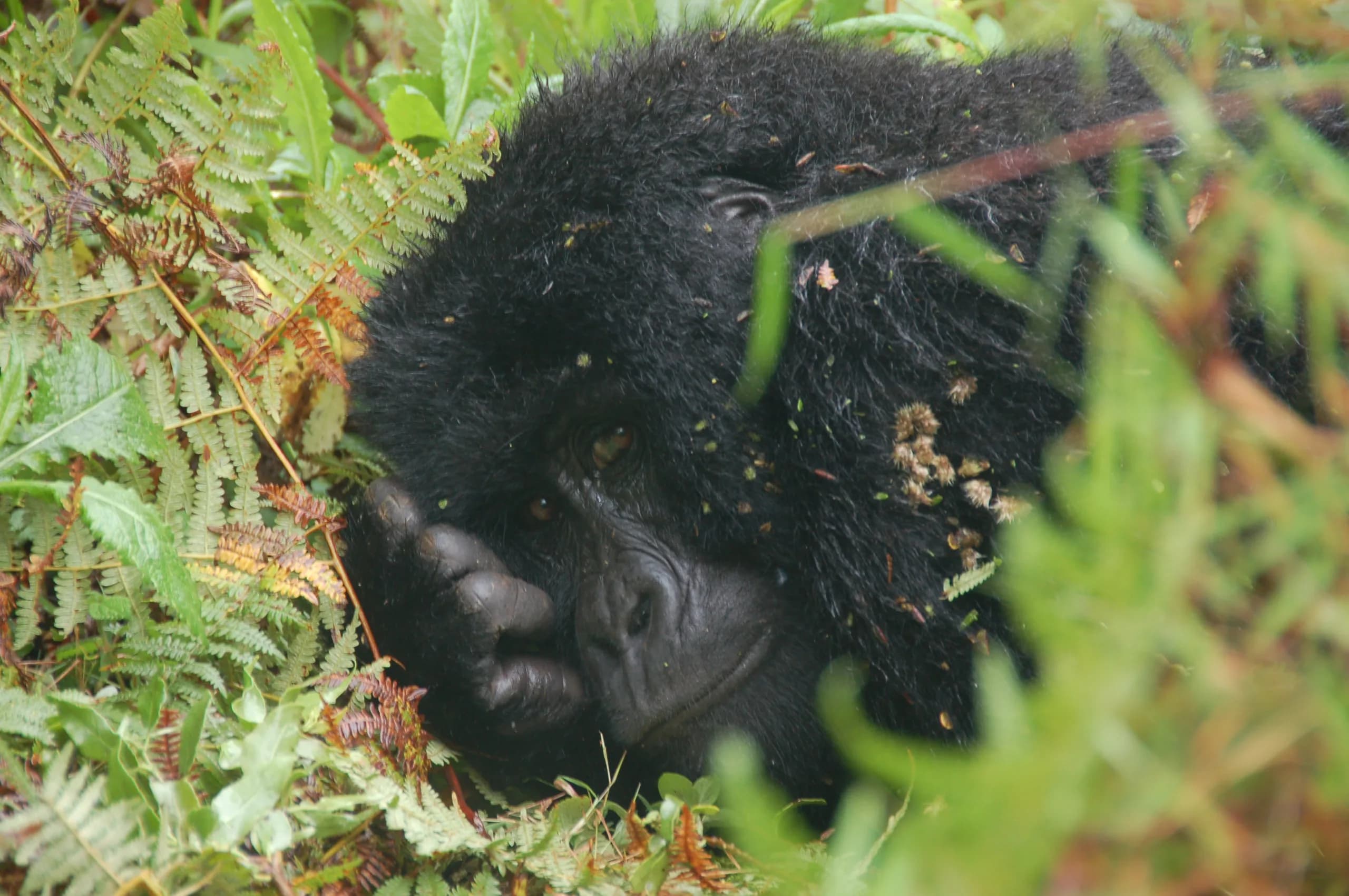
Bwindi Impenetrable Forest
Roughly half the world population of mountain gorillas, in 331 square kilometres of forest
National Park
Every place below is somewhere we run trips to and know from the ground, not a name pulled off a map.
East Africa is easier to think about as one landscape than as four countries. The Mara and the Serengeti are a single ecosystem with a border drawn across it, and the gorilla forests of southwest Uganda and northern Rwanda sit on the same chain of volcanoes. Where you fly into matters more than which flag is over the park gate: Kigali is the closest international airport to the southern gorilla sectors, whichever side of that border you end up trekking on.
Most of our guests combine two countries and a few combine three. The pairing that works hardest is a forest and a plain: gorillas or chimpanzees first, then open savannah, so the trip has two completely different halves instead of ten days of the same thing. What decides the shape is the season and the permit dates, not the map.
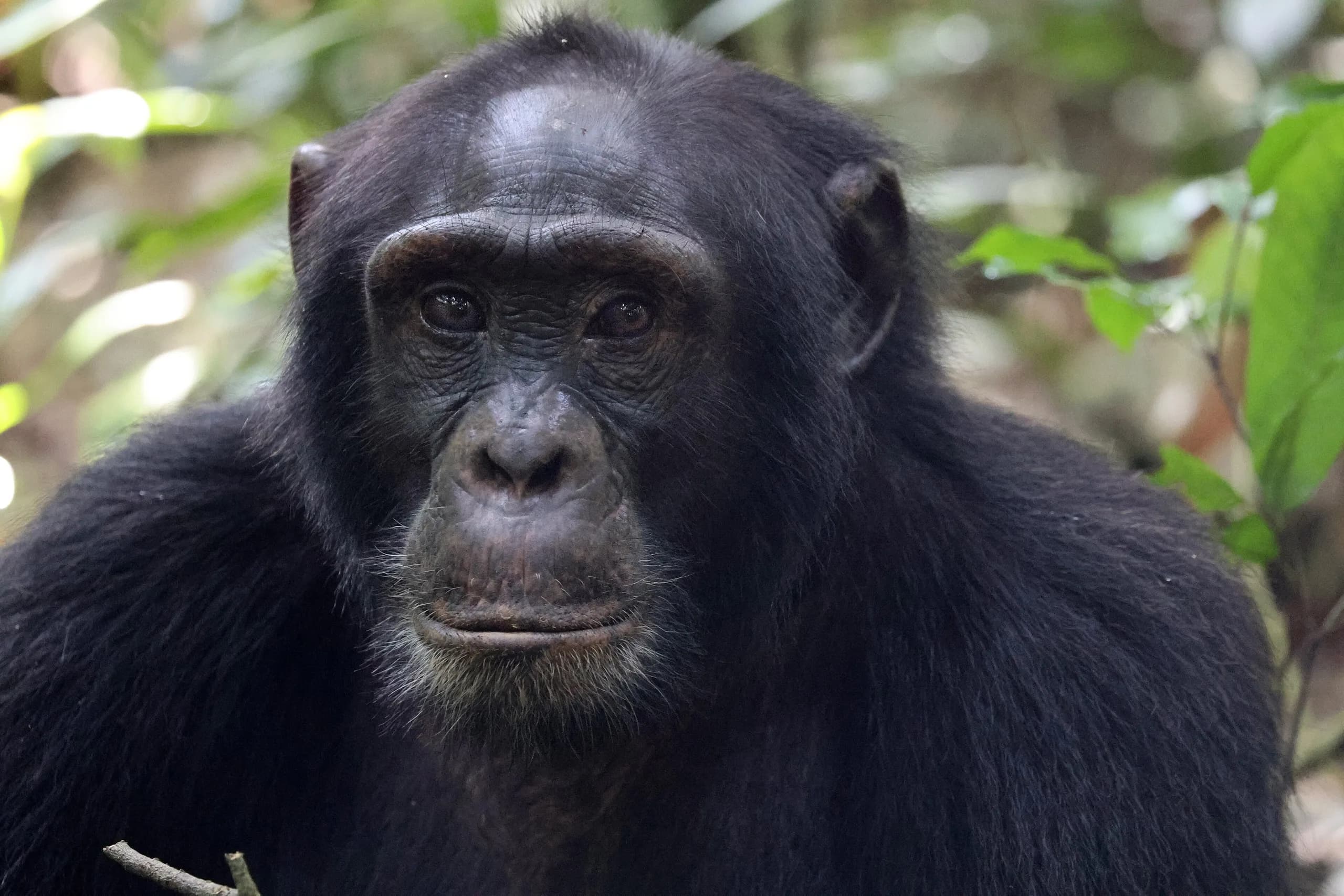
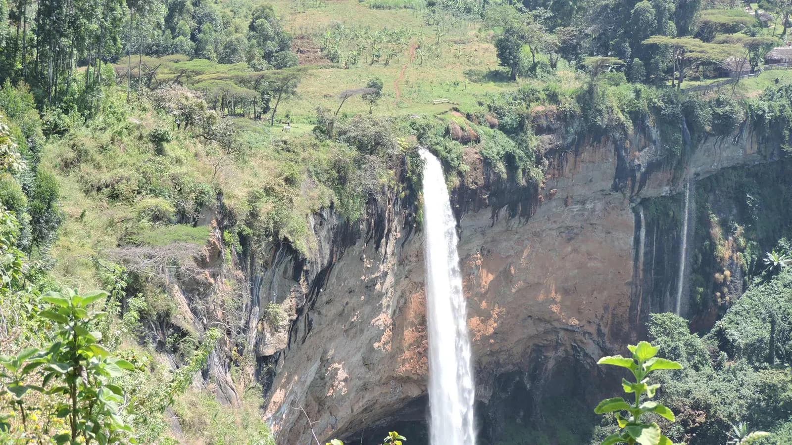
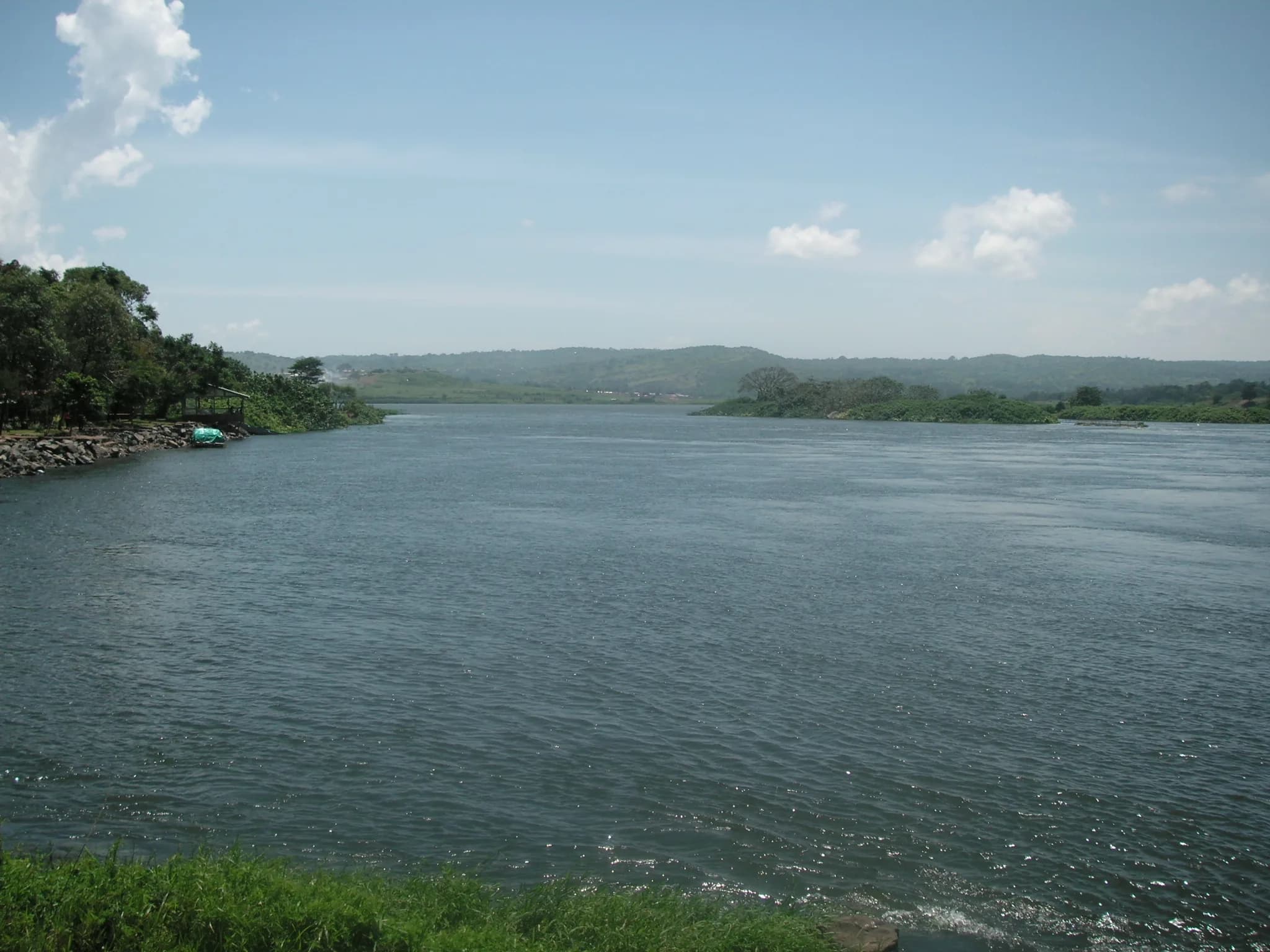
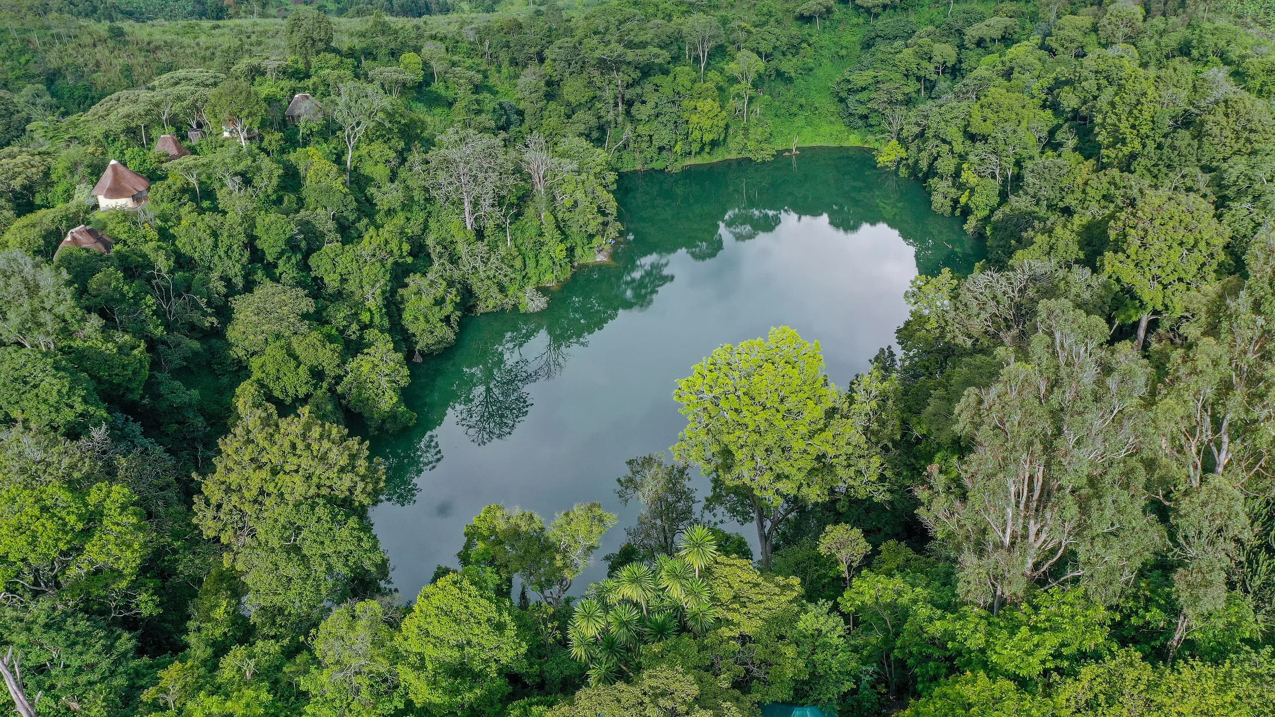
The forest end of the region. Gorillas and chimpanzees in the southwest, then savannah, crater lakes and the Nile through the centre and north.
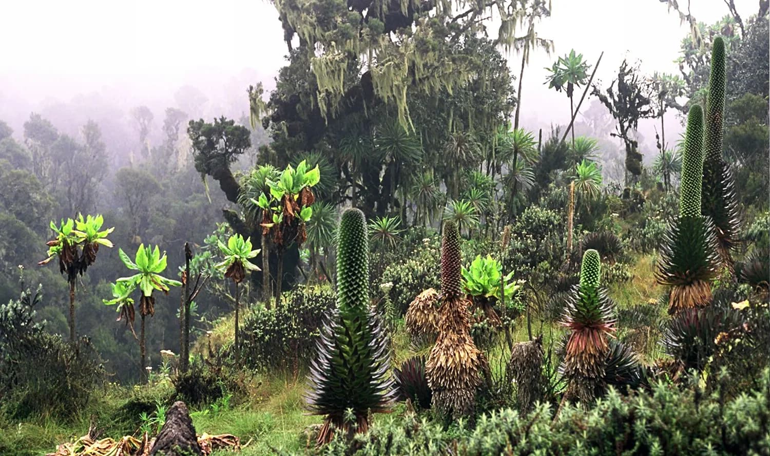
Small, high and quick to move around. Volcanoes National Park is a short drive from the airport, which makes it the fastest gorilla trek there is.
Classic savannah, the northern half of the Mara Serengeti ecosystem, and a light aircraft network that makes a genuinely short trip work.
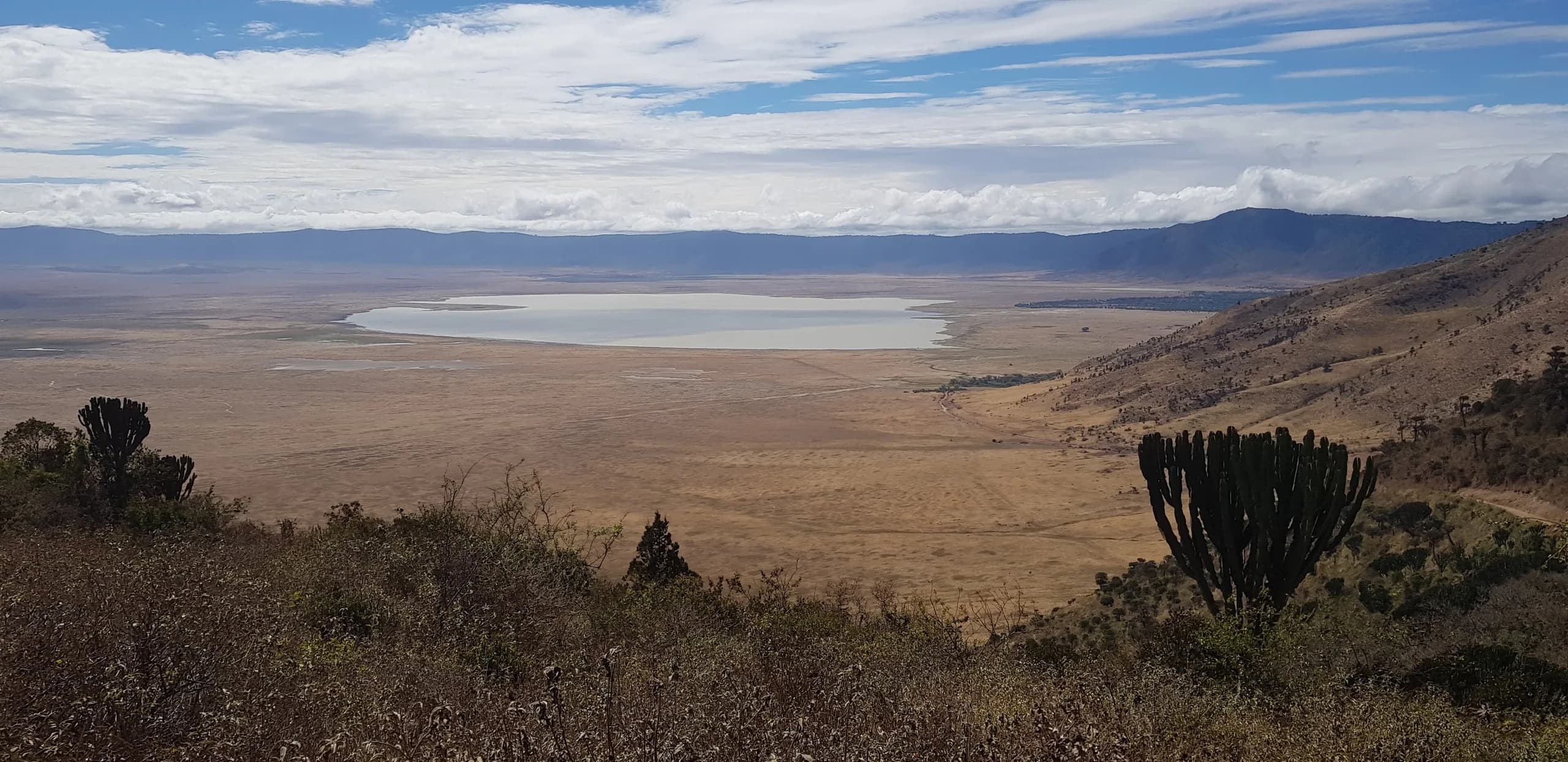
Scale. The southern half of that same ecosystem, the Ngorongoro crater and the coast, on a map that takes longer to cross than people expect.
Tell us how long you have and what you most want to see. We will tell you which combination actually fits and which one only looks good on paper.