
Uganda, crater lakes
Fort Portal Crater Lakes
Around sixty explosion craters between Fort Portal and Kibale, and the one on the banknote
About Fort Portal Crater Lakes
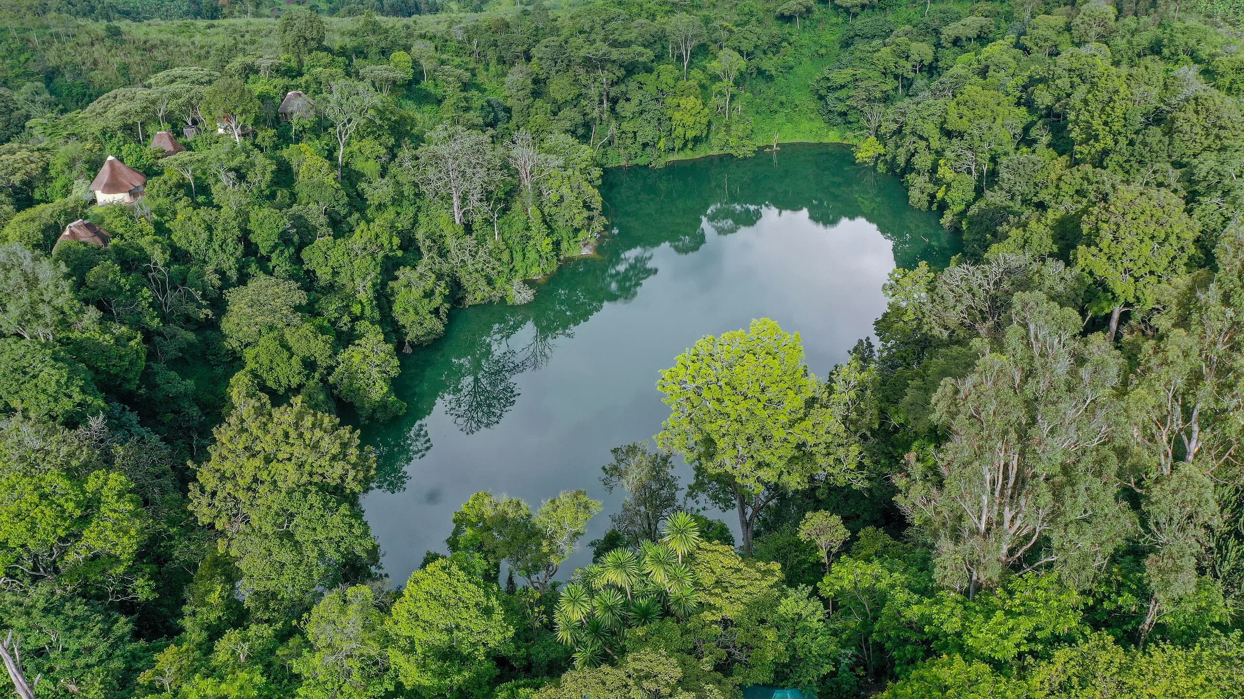
South of Fort Portal, in the wedge of country between the town and Kibale Forest, the ground is punched full of holes. The Ndali and Kasenda crater field holds somewhere around sixty explosion craters in an area you can cross in an afternoon, most of them steep-sided and most of them holding a lake. They were not built up by lava. They were blown out when rising magma hit groundwater and the whole thing went off as steam, which is why the rims are sharp and the floors are round.
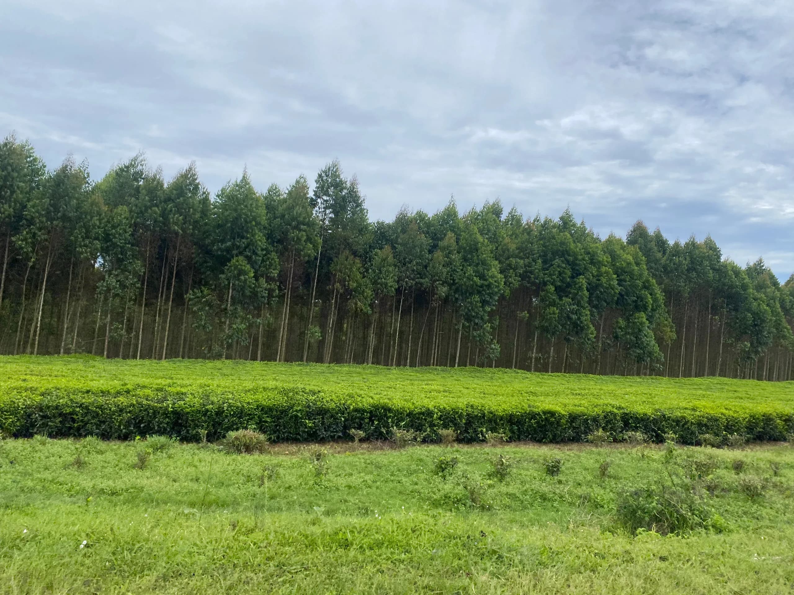
The view over Lake Nyinambuga from the ridge above it is the one printed on the Ugandan 20,000 shilling note, and standing at the viewpoint with the note in your hand is a reasonable use of two minutes. The rest of the field is better on foot. Murram tracks run between the rims through tea, vanilla and banana shambas, and a half day walking with a guide from one of the villages takes in three or four craters and a great deal of steep ground.
Several of the lakes are swum in daily. The field sits directly between Fort Portal and the Kanyanchu chimpanzee trailhead, which makes a night or two on a crater rim the natural way to break a Kibale trip rather than a detour from it.
What made them
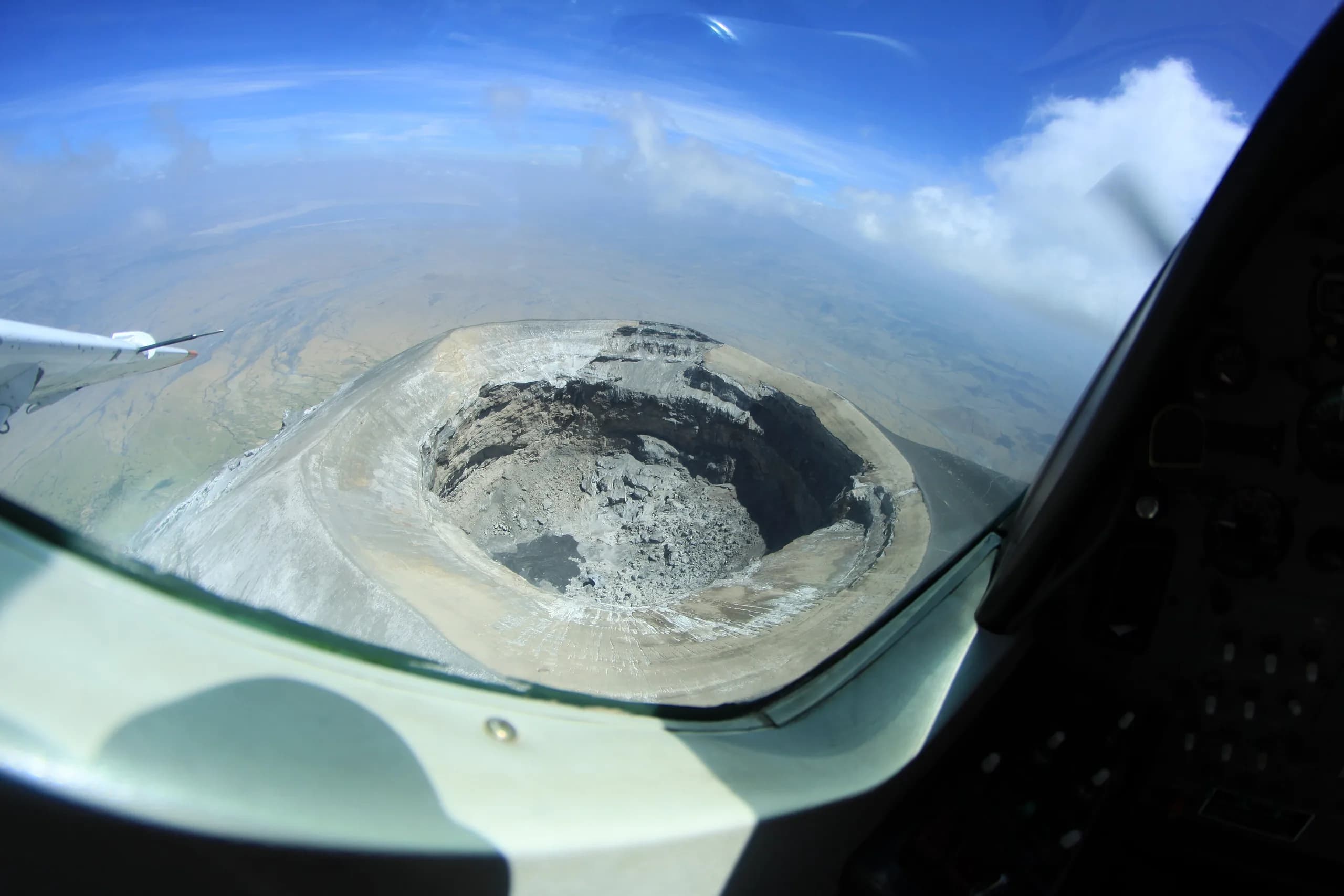
These are maars, formed by phreatomagmatic eruptions: magma rising into water-saturated rock, flashing it to steam and blasting a crater out of the ground in a single event. The Ndali and Kasenda field is one of several such fields along this stretch of the western rift, and the youngest craters in it are young in geological terms, thousands rather than millions of years old. That is why the rims have not weathered flat. It also means the field is not extinct in the way a range of old hills is extinct.
The lakes worth your time
Nyinambuga is the banknote view, seen from the ridge on its northern side. Nkuruba is the one to walk to: it is ringed by the last substantial patch of natural forest in the field, holds black and white colobus, red-tailed monkeys and vervets in the trees over the water, and has a long-running community campsite on the rim. Nyabikere, whose name means the lake of frogs, sits below the viewpoint locally called the Top of the World, which is the best single vantage point over the whole field and is a ten-minute detour off the Kasenda road. Lyantonde, Kifuruka and Mwamba fill out a walking circuit.
Kyaninga, north-east of Fort Portal, is often lumped in with these and is a separate crater outside the field: deeper, steeper-sided, with a lodge on the rim and a long stair down to the water.
Walking and cycling the field
The point of the crater lakes is that you get out of the vehicle. A half-day guided walk from Nkuruba or from the villages around Rweetera crosses three or four rims, drops into the saddles between them and climbs back out, and takes you through smallholdings growing tea, vanilla, coffee and matoke. It is genuinely steep in places and it is hot by mid-morning, so it starts early. Bicycles can be hired at some of the campsites and the murram tracks between craters ride well in the dry months.
Guides are village men and women attached to the campsites and community groups. The fee is set locally, is modest, and is agreed before you set off rather than after.
Swimming, and what to ask first
Several of the craters are swum in every day by the people who live on them and by the guests of the campsites on the rims, and the ones in regular use are free of hippo and crocodile. Bilharzia is not present in most of the field. That is not a blanket guarantee for all sixty craters: some are alkaline, some are stagnant and some nobody swims in for good local reasons. Ask at the campsite or the lodge about the specific lake you are standing on rather than assuming the field behaves as one unit.
Fees, and who takes them
There is no national park here, no gate and no Uganda Wildlife Authority tariff. The craters sit on community land, church land and private farmland. What you pay is a small charge at a viewpoint or a campsite, a guide fee for a walk, and whatever the campsite charges for a canoe or a bicycle. All of it is set by the community group or the landowner, all of it is modest, and all of it is indicative because it varies from crater to crater. Carry small Ugandan notes; there is nowhere to use a card between Fort Portal and Kibale.
Where it fits
The field starts about 25 kilometres south of Fort Portal on the Kasenda road, half an hour to forty-five minutes on murram, and it lies between the town and Kanyanchu. Anyone tracking chimpanzees in Kibale drives through it whether or not they stop. Staying one or two nights on a rim is the sensible version, and the onward drive south to Queen Elizabeth runs through the rest of the craters, which makes it one of the best two hours of road in Uganda. On a clear morning after rain the Rwenzori peaks stand on the western horizon from the higher rims.
What people come here for
- The view over Lake Nyinambuga from the ridge, which is the image on the 20,000 shilling note
- Lake Nkuruba, ringed by the last real forest in the field, with colobus and red-tailed monkeys over the water
- The Top of the World viewpoint above Lake Nyabikere, the best vantage point over the whole field
- A half-day guided walk across three or four rims through tea, vanilla and coffee shambas
- Swimming in craters that have no hippo, no crocodile and no bilharzia
- Rwenzori peaks on the western horizon from the high rims on a clear morning
- Thirty to forty-five minutes from the Kanyanchu chimpanzee trailhead in Kibale
What lives here
Resident species, not a promise. Wildlife moves.
- Black and white colobus
- Red-tailed monkey
- Vervet monkey
- Olive baboon
- Tree hyrax
- Great blue turaco
- Black and white casqued hornbill
- African fish eagle
- Grey crowned crane
- Malachite kingfisher
Best time to visit
June to August and December to February are the drier windows, when the murram tracks between the craters are firm and the walking and cycling are at their best. March to May and September to November are the two rainy seasons, when the rims are green, the afternoon storms roll off the Rwenzoris and the steep paths between craters turn slick. The compensation in the wet months is visibility: the clearest views of the Rwenzori peaks from the high rims come on the mornings after heavy rain, and the field is at its most photogenic when the cloud is breaking up. Mornings beat afternoons in every month, both for light into the craters and because the cloud builds from late morning here as it does everywhere on this side of the country.
Getting there
Fort Portal is five to six hours from Kampala via Mubende on tarmac, or two hours north of Queen Elizabeth through the southern end of the same crater field. From Fort Portal take the Kasenda road south for 25 to 30 kilometres, which is half an hour to forty-five minutes on murram, and the craters begin almost immediately. The Kanyanchu chimpanzee trailhead in Kibale is 30 to 45 minutes east of the field, so a crater lodge is a practical base for tracking rather than a compromise. By air, Aerolink flies Entebbe to Kasese in about an hour and the road transfer north is ninety minutes. A vehicle with clearance is worth having on the crater tracks in the wet months; a saloon car will get stuck.
Around Fort Portal Crater Lakes
Tell us when you want to be here
We will say honestly what is available on your dates, what the permits cost and whether the season suits what you want to do in Fort Portal Crater Lakes.